Tesla develops proprietary mapping system to correct FSD navigation errors
The electric vehicle maker is using fleet data to build internal maps that address speed limit and parking issues previously attributed to vision-only limitations.
By Naomi Whitaker ·
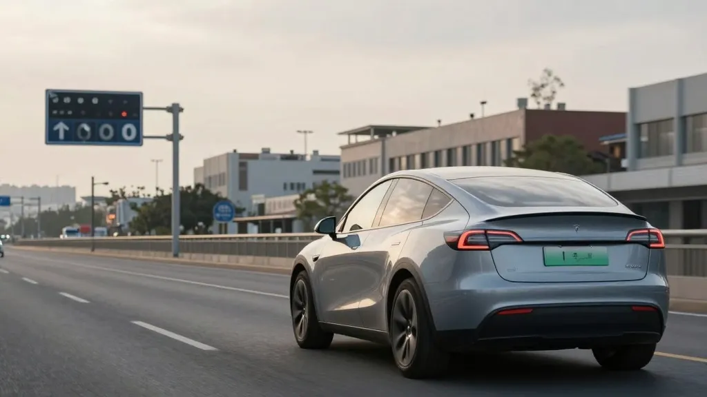
Tesla has begun constructing its own internal mapping infrastructure to resolve persistent navigation errors in its Full Self-Driving system. The initiative directly addresses frequent complaints regarding speed limit recognition, parking accuracy, and route selection. This development marks a significant strategic pivot for the company, which has historically relied on third-party map data.
The shift was disclosed during Tesla's third quarter 2026 earnings call. Ashok Elluswamy, the company's Vice President of AI, confirmed that the engineering team is developing a new architecture based on artificial intelligence. This system will utilize data collected from Tesla's global fleet to create dynamic maps. The maps will also integrate individual driver preferences and respond to voice commands. The technology is scheduled to debut with the FSD v15 software update, initially managing the start and end of trips.
Over the coming months, the new mapping layer will expand to handle full navigation, parking maneuvers, and destination processing. This rollout plan indicates a phased approach to integrating the new data structures into the existing software stack. The move aims to reduce reliance on external providers for critical driving information. By controlling the map data internally, Tesla seeks to improve the consistency and reliability of its autonomous driving features across different regions.
The decision to build proprietary maps contrasts with previous public statements from company leadership. In 2019, Elon Musk described high-precision lane maps as a significant error in self-driving development. He argued that reliance on such maps made systems brittle and inefficient. Musk also criticized the use of lidar sensors, labeling them a fool's errand. At the time, Tesla promoted a vision-only approach that it claimed would allow cars to drive anywhere without pre-mapped data.
Tesla's position on mapping has fluctuated over the years. When Autopilot launched in 2015, the company informed Fortune that it was creating high-precision maps with significantly greater granularity than standard navigation tools. These maps were intended to be built using data from customer vehicles. However, the 2019 Autonomy Day presentation reinforced the idea that cameras and artificial intelligence were sufficient for general driving. This messaging suggested that detailed, pre-mapped environments were unnecessary for true autonomy.
Current performance data highlights the specific issues the new maps are designed to fix. Speed limit compliance remains a major challenge for the FSD system. Last month, a Belgian road safety group reported that FSD vehicles exceeded the 30 km/h speed limit in 55% of test zones in Brussels. The average speed recorded was 44 km/h. In many instances, the vehicle's display showed an incorrect limit of 50 km/h. In the United States, the National Highway Traffic Safety Administration is considering an investigation into reports of Tesla Robotaxis speeding through active school zones. This review covers approximately 1,000 Model Y and Cybercab vehicles.
The new mapping effort aligns Tesla's operational model with that of its competitors. Waymo, a leading autonomous vehicle service, uses sensor-equipped vehicles to map cities before launching driverless service. It then updates these maps continuously as its fleet operates. Tesla is now adopting a similar methodology, using its large fleet to collect environmental data that feeds into a central map. This data helps improve the driving performance of every connected vehicle. The primary hardware difference remains the presence of lidar on Waymo vehicles.
Tesla's Robotaxi service currently operates within small, geofenced areas. The company manages these fleet operations city by city. The new map layer will support this operational structure by providing detailed environmental context. While Tesla is not currently discussing centimeter-level high-definition maps, the continuous data collection from its fleet suggests the system will become increasingly precise over time. This approach allows the company to refine its understanding of specific road conditions without requiring manual mapping efforts.
The development underscores the complexity of building a fully autonomous system. Despite years of emphasizing a vision-only solution, Tesla is now leveraging fleet-generated maps to correct basic navigation failures. The new infrastructure aims to ensure that the vehicle can reliably interpret simple road information, such as speed limit signs. This step is crucial for the safety and efficiency of the FSD system as it prepares for broader deployment in consumer vehicles and robotaxi services.
Source: Electrek · original report published